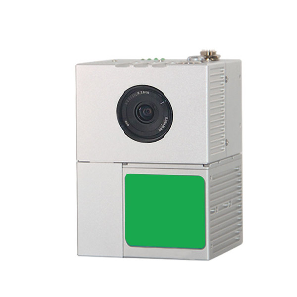
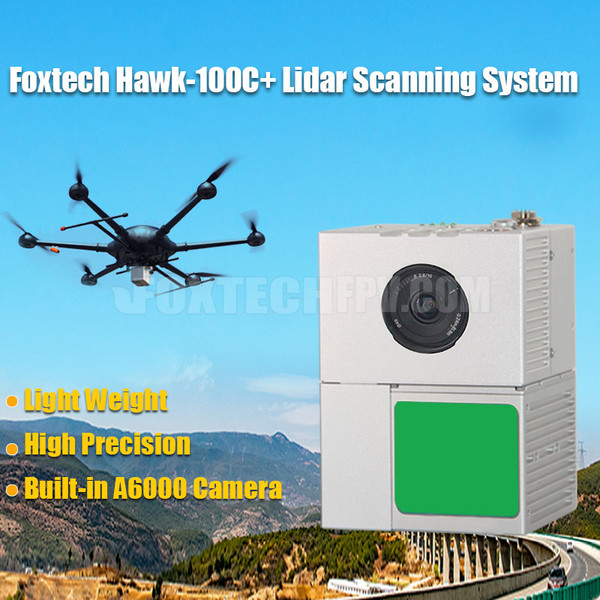
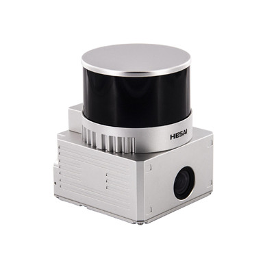
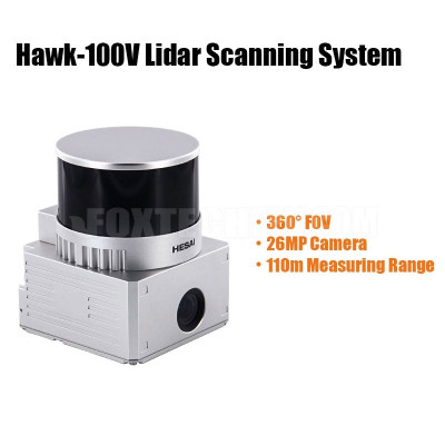
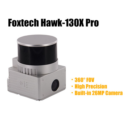
Integrated with a laser scanner, GNSS satellite positioning system, INS inertial navigation system, and an A6000 camera, Hawk-100C+ is a high-precision UAV LiDAR point cloud data acquisition system. It enables real-time and extensive collection of high-precision point cloud data and rich image information, making it suitable for various applications such as digital city construction, land surveying, forestry, and agriculture.
The Hawk-100C+ Lidar Scanning System offers high precision GNSS positioning, rapid data processing, and a lightweight design of under 1.1kg. When mounted on multirotors, it can efficiently capture three-dimensional position and attribute information of ground objects over a large area. By utilizing data processing software, it can generate digital images such as DOM (with the integrated camera), DEM, DLG, and DSM.
The positioning and attitude measurement system of the Hawk-100C+ comprises high precision GNSS and INS integration. This combination enables differential positioning and orientation, providing instantaneous position, speed, and attitude information (pitch, roll, yaw). Additionally, it is equipped with a built-in Sony A6000 mapping camera boasting 26 megapixels and an 83° FOV. The camera works in conjunction with the laser scanning system, enabling synchronous collection of image and point cloud data, which can be used to generate color point clouds or orthophoto maps (DOM).
Thanks to its lightweight and compact size, the Hawk-100C+ LiDAR can be easily mounted on various multicopters for a wide range of applications, such as object classification and extraction, creating digital elevation models (DEMs) of specific landscapes, mapping flood risks, monitoring coastal erosion, and highlighting changes and abnormalities in vegetation growth.
Your Purchase Includes:
1x Foxtech Hawk-100C+ Lidar Scanning System
1x GNSS Antenna
1x 128G SD Card


