




LiAir Xmini Lightweight UAV LiDAR Scanning System | 405 g, 200K pts/s, GNSS-INS/SLAM Dual Modes, Compatible with DJI Matrice 4 Series

Price Available Upon Inquiry
- SKU:
- 2611031
- Weight:
- 2.00 KGS
LiAir Xmini is a lightweight UAV LiDAR scanning system integrating a compact ring-scanning LiDAR, high-precision INS, and an edge-computing platform for close-range 3D mapping and inspection.
IDEAL FOR
UAV-based 3D mapping, tunnel and pipeline inspection, underground space surveying, forestry inventory, bridge underside inspection, and mining and stockpile measurement.
Note: Compatible UAV platforms are not included. LiDAR360 / LiDAR360MLS post-processing software is optional and sold separately.
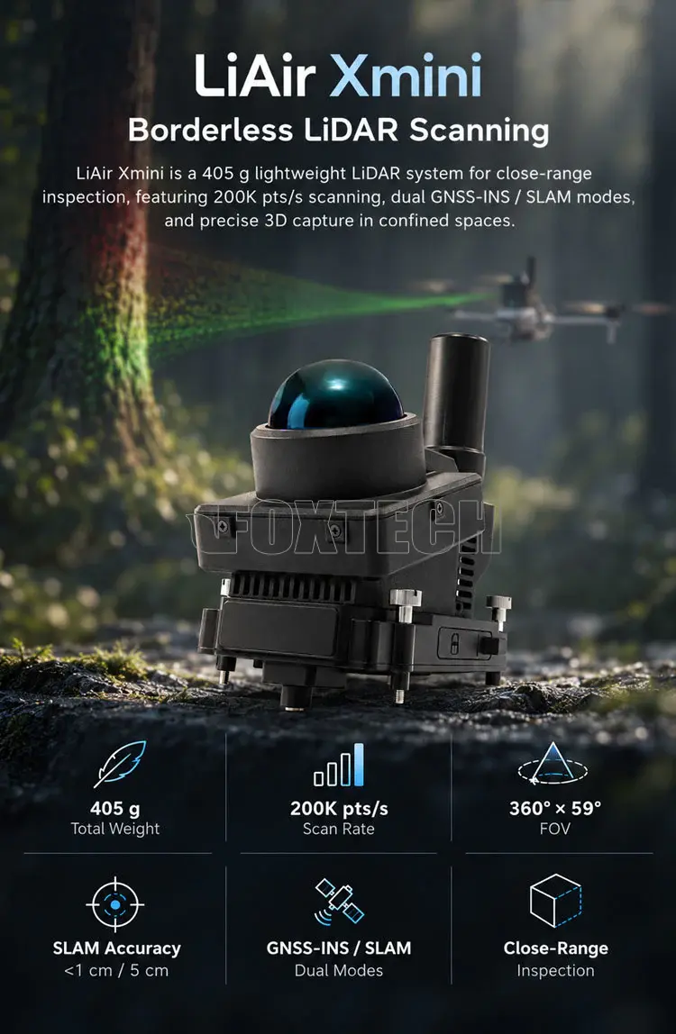
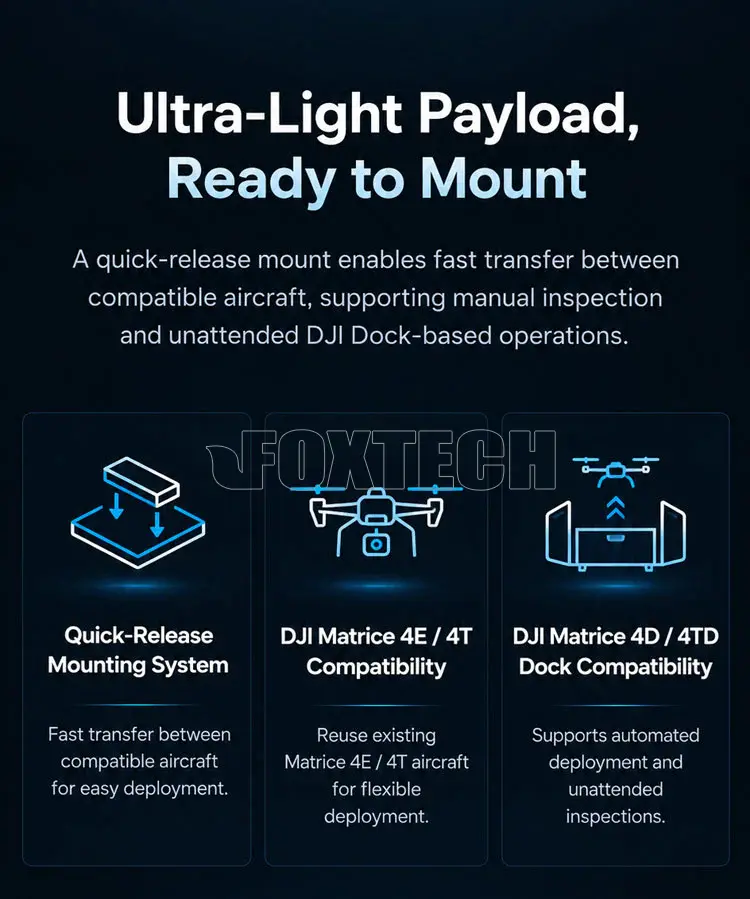
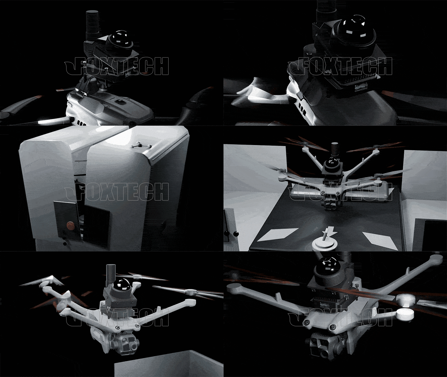
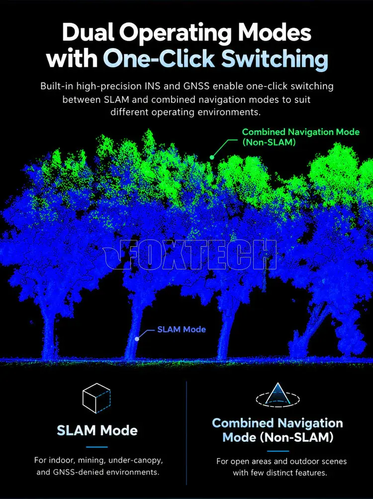

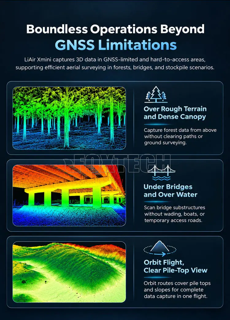

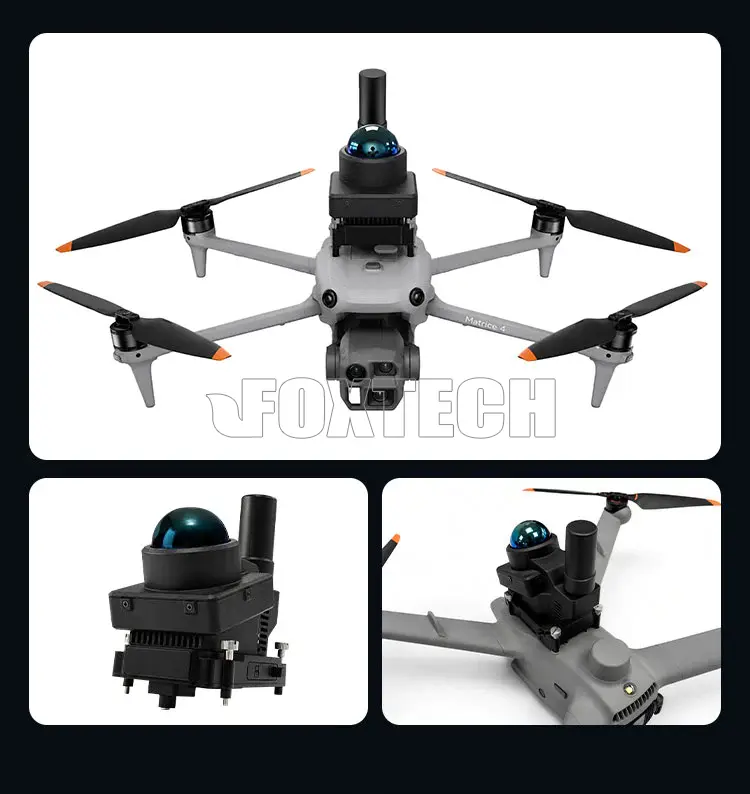
With switchable INS-aided and SLAM modes, LiAir Xmini adapts to open outdoor areas and GNSS-denied environments. Weighing just 405 g, it supports quick deployment on compatible DJI Matrice 4 series aircraft and captures high-precision 3D point clouds at up to 200,000 pts/s.
KEY FEATURES
- Ultralight 405 g Design
At just 405 g, the compact payload features quick-release mounting for fast deployment on compatible UAV platforms.
- GNSS-INS / SLAM Dual Modes
Switch between INS-aided and SLAM modes to support mapping in open outdoor areas and GNSS-denied environments.
- High-Precision SLAM Mapping
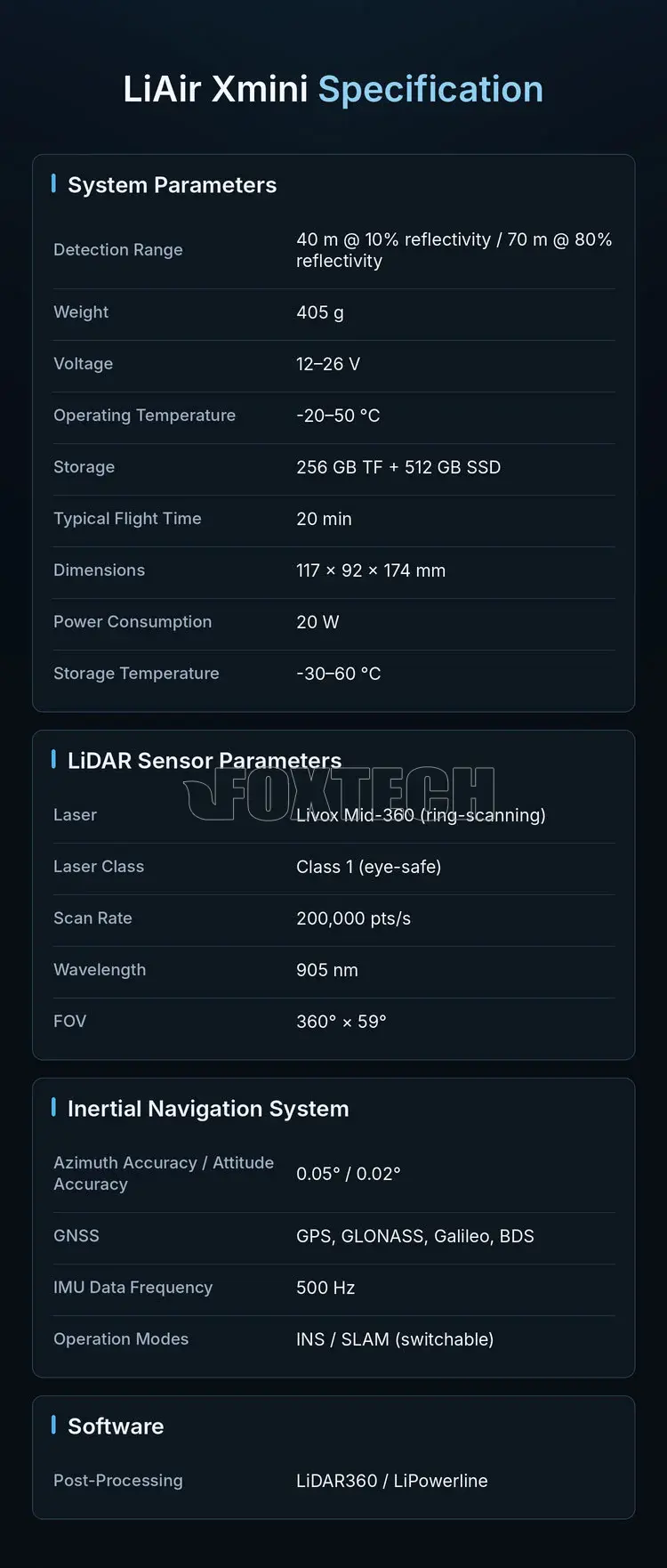
Achieves less than 1 cm relative accuracy and 5 cm absolute accuracy in SLAM mode for reliable 3D point cloud generation.
- 360° Ring-Scanning LiDAR
The Livox Mid-360 delivers a 360° × 59° field of view and a scan rate of up to 200,000 pts/s for efficient 3D data capture.
- DJI Matrice 4 Series Compatible
Compatible with DJI Matrice 4E/4T and Matrice 4D/4TD Dock platforms for flexible deployment and reuse of existing aircraft.
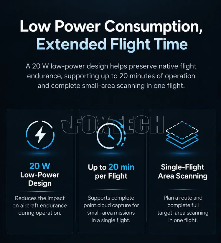
- Low-Power Operation
With 20 W power consumption and a typical flight time of 20 minutes, the system supports efficient point cloud capture for small-area missions.
YOUR PURCHASE INCLUDES
1× LiAir Xmini UAV LiDAR Scanning System
GreenValley Display & Control Software
LiDAR360MLS-BP Preprocessing Software Module








Related Products


LiAir H600 Pro 1200m Surveying-Grade LiDAR Scanning System for DJI M300/M350 RTK/M400 | Power Line & Forestry Mapping
LiAir H600 Pro is a lightweight, surveying-grade UAV-mounted LiDAR scanning system designed for large-scale aerial mapping, power line inspection, forestry resource survey, and emergency disaster...


Foxtech
Hawk-260X Lidar Scanning System
Foxtech Hawk-260X is a compact and light weight Lidar point cloud data acquisition system, integrated with the new generation laser scanner, high precision GNSS and IMU positioning system, which is...
Foxtech
Hawk-100V Lidar Scanning System
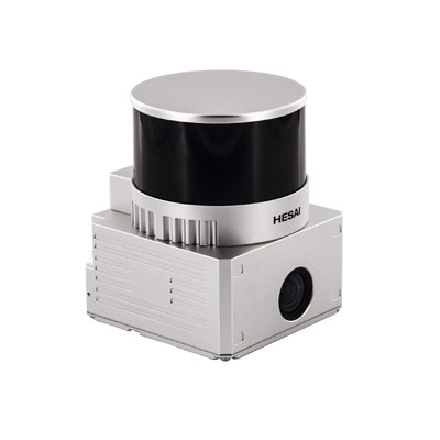
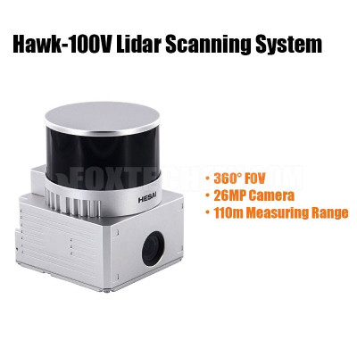
Foxtech Hawk-100V is a compact UAV Lidar point cloud acquisition system, integrated with a laser scanner, GNSS satellite positioning system, INS inertial navigation system, and 26MP camera, which can...


SLAM200 High-Precision Handheld Imaging LiDAR Scanner with Built-in GNSS
SLAM200 is the third generation high-precision handheld laser scanner. SLAM200 LiDAR Scanner features a panoramic camera, a higher-performance laser sensor, built-in GNSS module and a more powerful...